


About Us
Welcome to Heli Bhumi Portal, a robust web platform for visualizing data in 2D and 3D. It processes large datasets with advanced algorithms, offering instant visualizations, real-time 3D analytics, flood and flight simulations, cut-fill analysis, and 3D object generation. Bhumi Portal facilitates in-depth data analysis and simulations in real time.
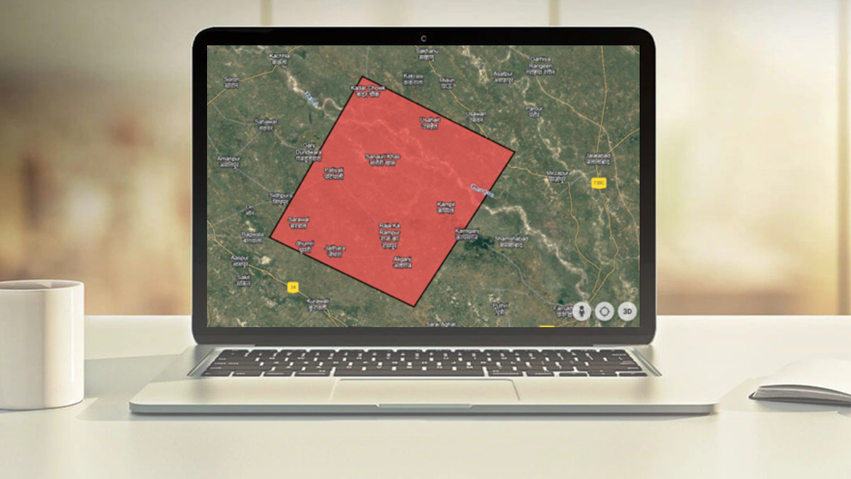
 With Bhumi Portal
 With Traditional Method
-
01
Inbuilt Analysis
Dome Analysis Terrain Analysis Flood Simulation Flight Simulation Cut Fill Analysis Real Time 3D Analytics Line of Sight Analysis 2D & 3D Digitization and Planning -
02
Application Development
Web GIS Insurance Smart City Digital Twin Renewable Sector Dashboard Creation Progress Monitoring Construction Monitoring Drone Application Development Explore

Get the insight with or without data
Get InsightBuilt For
Planner And Engineer
Enabling detailed urban layouts, infrastructure projects, and resource management
Developers And SME’S
Offering customized applications and seamless integration for your business needs
Innovation meets Simplicity

Real-Time Analytics

Instant Data Visualization

Comprehensive Data Handling

Enhanced Decision-Making

Versatile Applications

Customizable Analysis

User-Friendly Interface
Learn How to Use Bhumi Portal !
Watch application videos
Pricing
Basic
$30 / month
- Free (14 days) / $30 after 14 day trail
- $300/- year
- Heliware Helibhumi Server only
- 2.5 GB per user
- Offline available
Recommended
Business
$55 / month
- $600/- year
- Heliware Helibhumi Server only / Private Server above 16 GB
- 10 GB per user
- Offline available
Developer
$250 / month
- As per client requirement
- Private Server above 16 GB
- As per Server storage
- Offline available
Frequently Asked Questions
-
1. What is Bhumi
Portal?
Bhumi Portal is a powerful web platform designed for visualizing and analyzing geospatial data in both 2D and 3D formats. It allows users to handle big data, perform real-time analytics, and develop customized applications using advanced algorithms and visualization tools.
-
2. What types of data can
Bhumi Portal handle?
Bhumi Portal can handle a wide variety of data types, including geographical, topographical, and statistical data, among others. It is designed to process large datasets efficiently and provide meaningful visualizations and analyses.
-
3. What makes Bhumi Portal
user-friendly?
Bhumi Portal boasts a robust graphical interface and strong backend architecture, making it easy to use. It also offers customizable templates and a user-friendly design, allowing users to develop applications without extensive technical expertise.
-
4. How does Bhumi Portal
handle
real-time simulations?
Bhumi Portal includes built-in tools for real-time simulations, such as flood and flight simulations. These tools allow users to visualize and analyze scenarios in real time, providing valuable insights and enhancing predictive capabilities.
-
5. How can I get started with
Bhumi
Portal?
To get started with Bhumi Portal, you can visit our website and sign up for an account. Once registered, you can explore the platform's features, upload your data, and start developing your customized applications.
-
6. How can various sectors use
the Heli Bhumi Portal?
Urban planners, agricultural professionals, logistics companies, environmental organizations, disaster management teams, real estate developers, and energy companies can all benefit from the Heli Bhumi Portal. The platform offers tools for visualizing data, planning projects, managing resources, and making data-driven decisions. With real-time analytics and interactive maps, users can enhance efficiency, optimize operations, and improve decision-making across diverse applications.
Contact Us
Location:
24 Square, South City-1, Sector-41, Gurugram, Haryana 122022, India.
Email:
support@heliware.co.in
Call:
+91 9554109472
Loading